"There is no real ending. It’s just the place where you stop the story."
Frank Herbert
The date is 10th of February, 2014. We had the morning free until 11:00AM before we had to haul ass and skedaddle to our next stop in Luang Prabang so in attempt to make the most out of my time in Vang Vieng, I decided to climb a lump of rock I've been eyeing from my guesthouse since I arrived. I noticed that it has a red flag on its top and after asking around, I found out that (a) it is called Pha Poak, and that (b) one can enjoy a rather stunning view of the karst mountains from its peak.
I set out at about 7:00AM, jogging briskly westward towards it to save as much time as possible. After crossing a couple of footbridges across the Nam Song, I followed the
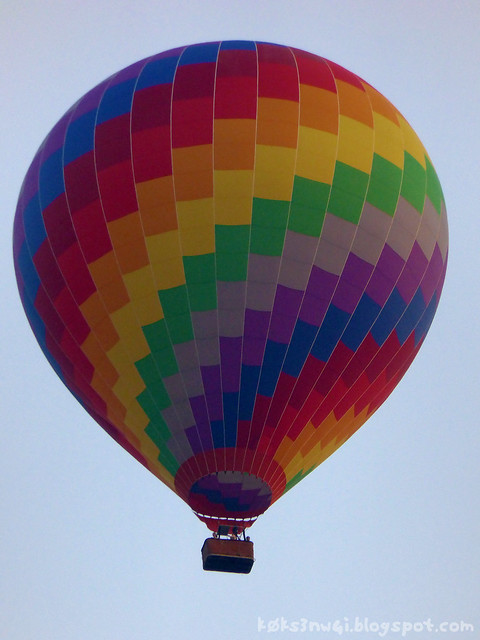 |
| Hot air balloon taking off to catch the sunrise. |
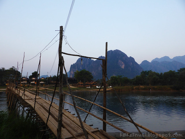 |
| Footbridge over Nam Song, the river which we went tubing on the day before. |
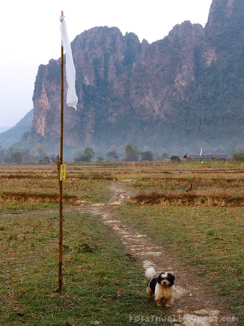 |
| The trail-marking flags and the dog which followed me part of the way. |
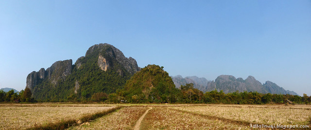 |
| That gumdrop shaped hill standing in the foreground of the Vang Vieng karst mountain range is Pha Poak. Picture actually stitched from photos taken after I descended from it. |
Even with my multiple photo stops, I still managed to reach Pha Poak's base in under 20 minutes so I was making good time indeed. I noticed that there was no one manning the admissions counter and thought that I could get away with not paying any money again (like the previous day at Kaeng Nyui) but alas, I found that the entrance to the trail was locked as tight as a duck's arse. After surveying the surrounding, I couldn't find any easy way to circumvent the gate and every hopeful lead was overgrown by thorny creepers.
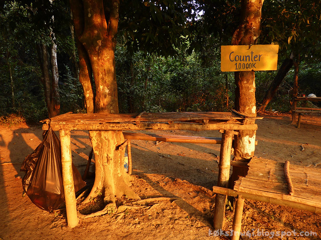 |
| 10,000 kip, 1.25 USD or a little above 4 ringgit. |
I was confronted with the dilemma of walking all the way back to town to join Cheryl (who was no doubt having a leisurely time devoid of sweat-wringing exertions) or sticking around to wait for someone to unlock the gate - and I elected the latter option, thinking that I'll just loiter until 8:00AM. If no one turns up by then, I would turn back lest I miss my bus. And fortune favoured the persevering! A sleepy looking fellow reported for duty a little before eight and after failing to sell me a can of soda, he let me through and I began furiously making my way to the top.
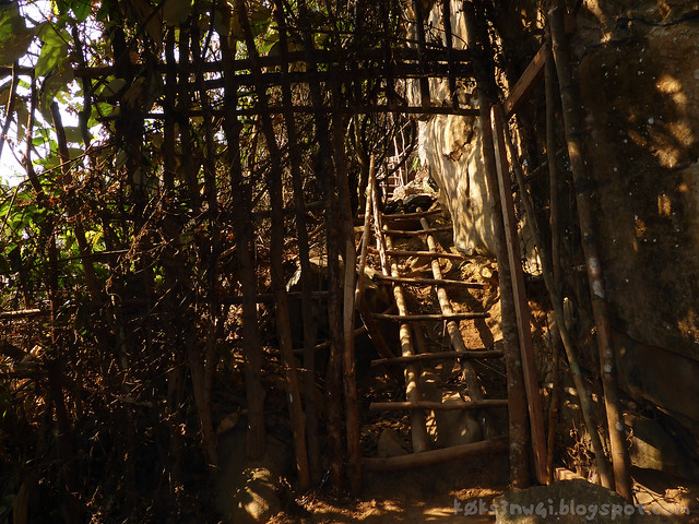 |
| Entrance to the top of Pha Poak and Lusi Cave. |
I have no idea how high Pha Poak is from base to summit but it only took me 10 to 12 minutes to scale it, and not stopping for taking pictures along the way certainly helped. The trek was tougher than Pha Ngeun (which was a little less than an hour's straight walk to the top) because the trail on Pha Poak requires one to actually do a bit of climbing on the razor-sharp rocks that the hill was made out off. There were initially wood and bamboo ladders bridging the rougher bits but as I neared the pinnacle, there was none to be seen.
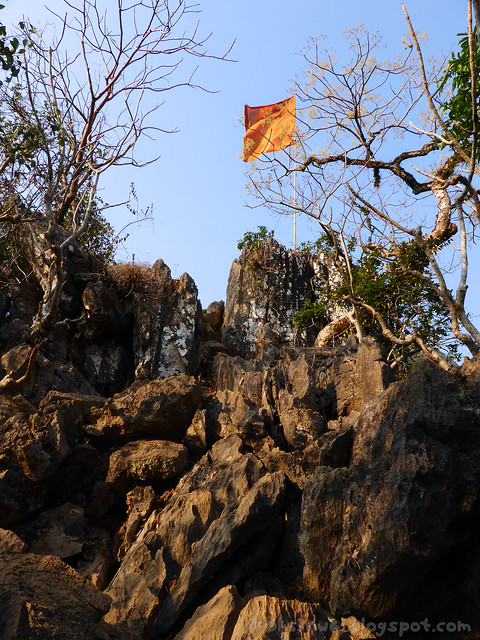 |
| Sharp, broken bits of limestones littered the top, marked by a single red flag. |
For such a short climb, the payoff was immense. While Pha Poak isn't as lofty as Pha Ngeun, it was fortuitously placed right in front of the dramatic and iconic limestone formations that Vang Vieng is known for, making it a unique vantage point. The view was first class.
 |
| Panorama of the karst landscape of Vang Vieng from the top of Pha Poak. |
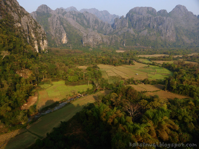 |
| The valley below. I wish I can BASE jump right off it. |
Because there is a negligible amount of vegetation growing on Pha Poak's crown, I had an unimpeded 360° view.
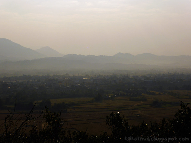 |
| Vang Vieng town to the east. |
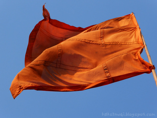 |
| Red flag flapping wildly in the strong thermals. |
I didn't stay very long because there was simply no way to be comfortable up there. Every surface was covered by pointy, sharp rocks that threaten to tear new anuses in my posterior. After drinking in the scenery for about 20 minutes, I started my descent. There is still a Lusi Cave for me to see (though I doubt it would be much considering how I have never read about it in my pre-trip research).
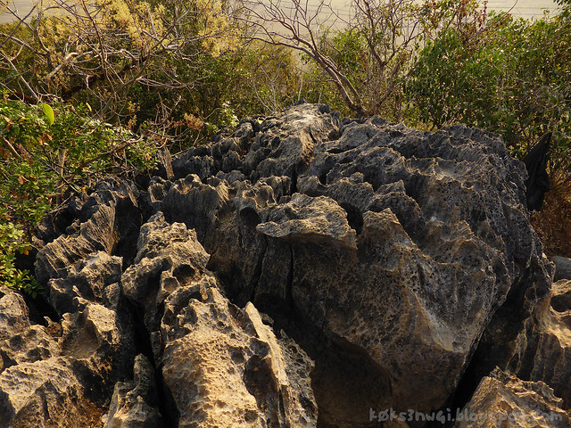 |
| The entire peak looks like this. |
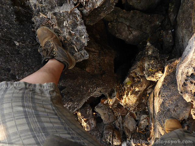 |
| Rocky descent. |
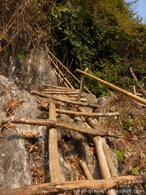 |
| The ramshackle ladders. |
The entrance to Lusi lies near the bottom and it looked like a solutional cave to me. There wasn't much to see and whatever were there were heavily defaced by graffiti. The cave formations or speleothems were so uninspired that I did not tarry or proceed much further. It was a pity that I could not find the time to also take in all the more spectacular caves in Vang Vieng like Tham Jang or the Tham Sang Triangle. Perhaps another time.
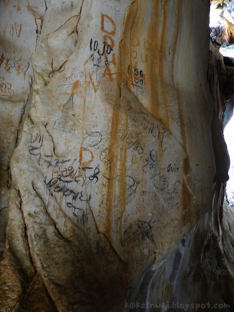 |
| Graffiti on the cave wall. |
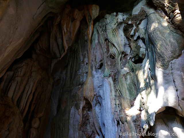 |
| Some multicoloured flowstones that are too high up to be defaced. |
By 9:30, I stomped back into town, showered, stuffed everything I brought with me to this country into my backpack, and had my first meal of the day - a huge cheese, egg and bacon baguette sandwich from the stall opposite the tour agent I bought our bus tickets to Luang Prabang from.
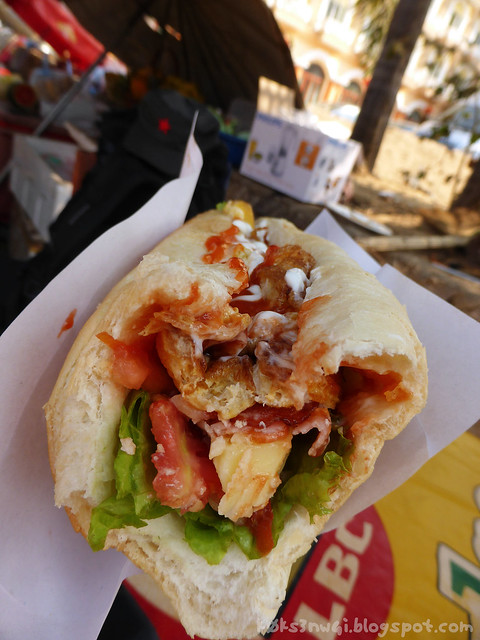 |
| I can kiss it. |
Anyway, in case you are curious about what my fairer, smarter, better-smelling half was up to while I was perspiring my way up a glorified pile of pebbles, here are a couple of snapshots from her phone camera,
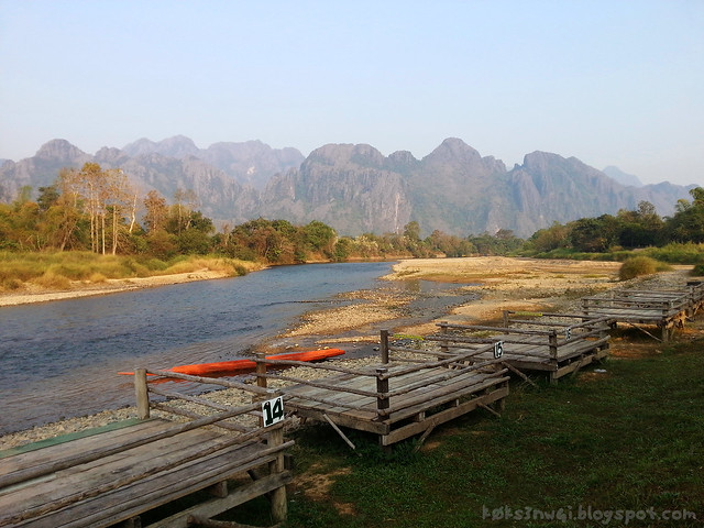 |
| Riverside cafe and bar with a view to die for. |
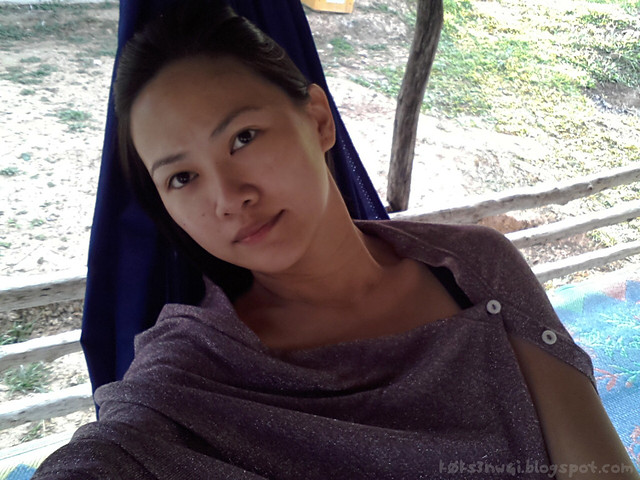 |
| Cheryl chilling out on a hammock, sipping a cold drink. |
After my belated breakfast, there wasn't much for us to do but wait for our ride to come in from Vientiane to take us along Route 13 to the royal city of Luang Prabang, the former seat of power of the last kings of Laos.
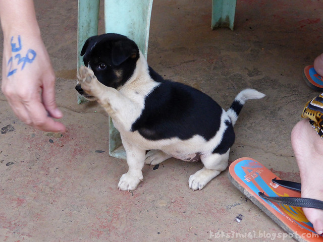 |
| A puppy high-fiving Cheryl. That's the mark that was written on the back of her hand when we rented tubes to go tubing yesterday, in case you are wondering. |
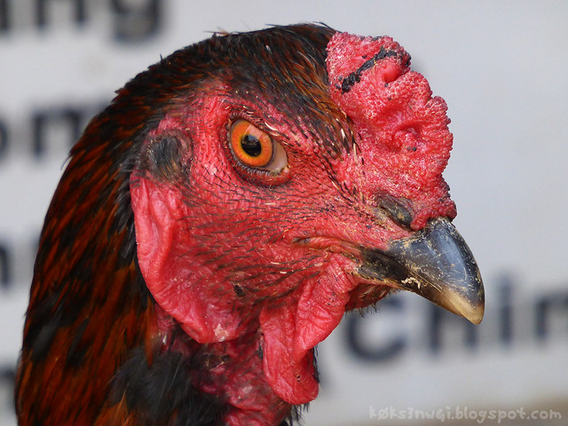 |
| A chicken that decided to hang around with us too. You can imagine how saurian it would look if it got mange or something |
The journey would take roughly 8 to 10 hours through the mountain roads which are fraught with hairpin turns and lightlessness (as the technology of lit highways have not reached this part of the world yet). I also read that the scenery on Route 13 between Vientiane and Luang Prabang is unspeakably impressive - and indeed it was. There were soaring mountains that dwarf anything standing in Vang Vieng and valleys that dip into eternity. Few guesthouses punctuates Route 13, but I certainly wouldn't mind staying in one of them for a day or two, just kicking back and looking at the gorgeous landscapes.
Sorry that I don't have any pictures to share because the windows of the bus I was riding looked like they hadn't been cleaned since the establishment of communism in Laos. I did however, have this to share,
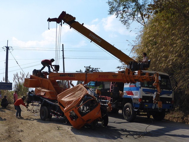 |
| Motor-vehicular mayhem. |
Our journey was delayed by almost a whole hour what looks like an almost certainly lethal traffic accident involving one very crumpled mobile construction crane. I couldn't see any other vehicles involved so I guess said crane must have rolled down from up high. They were in the process of trying to hoist the devastated machine using a larger crane when we arrived on site so that gave me some time to get off the bus and stretch my legs. Cheryl pretty much napped through it.
Anyway, when I write about Laos again, we would be in Luang Prabang. Till next time, then.
RELATED POSTS:
Vive La Vientiane: Part One
Veni, Vidi, Vang Vieng: First Night in Town
Veni, Vidi, Vang Vieng: Climbing Pha Ngeun
Veni, Vidi, Vang Vieng: The Blue Lagoon at Tham Phu Kam
Veni, Vidi, Vang Vieng: Solo Mountain Biking Trip to Kaeng Nyui Waterfall
Veni, Vidi, Vang Vieng: Tubing Down the Nam Song
Sabaidee Luang Prabang: The Night and Morning Markets
Sabaidee Luang Prabang: Phou Si Hill, Haw Kham and Wat Xieng Thong
Sabaidee Luang Prabang: Out Alone in the City
For the love of baguettes,
k0k s3n w4i.

2 comments:
Amazing landscapes. You seem like an experienced hiker. And it's not a thing your wife would enjoy doing with you?
Anonymous: I am actually a shitty hiker. I mostly did day-hikes, and only did one 3-day-hike when I climbed the Pinnacles at Mulu.
Post a Comment